
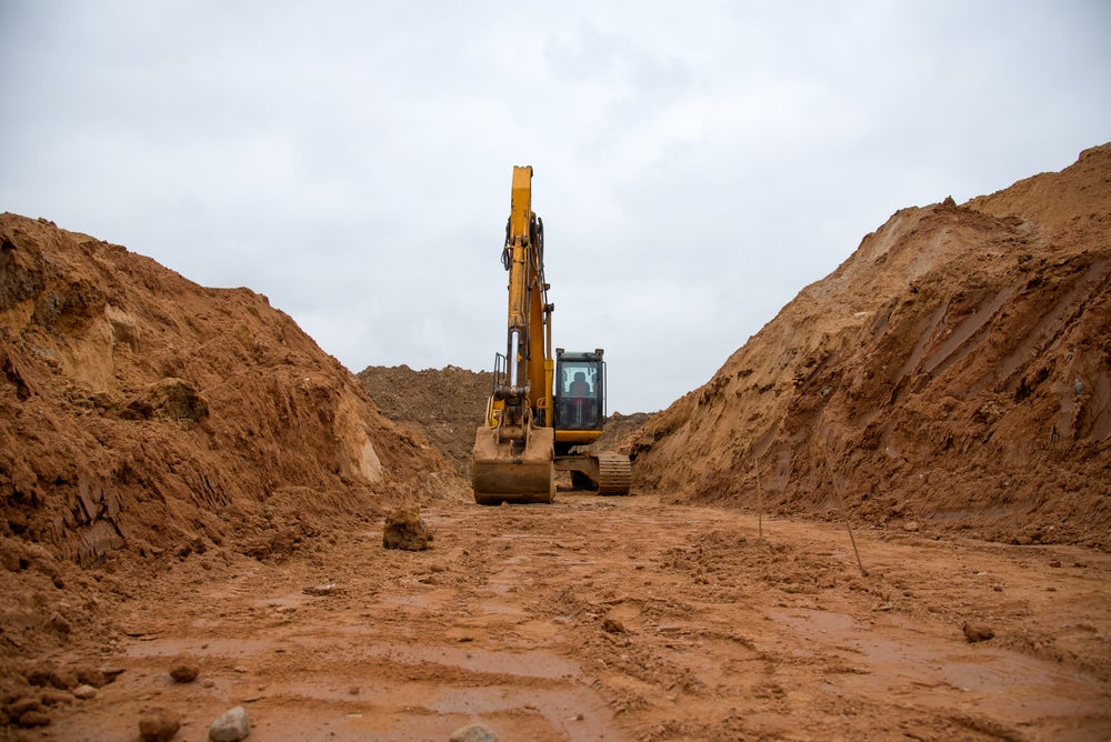
Blog / Data Center Construction

Data Center Excavation in Lehigh Valley, PA: What Developers Need to Know

we do excavation and land prep for data center construction.

Data center projects demand a higher standard of site preparation than most commercial builds. In Lehigh Valley, PA, excavation plays a direct role in schedule reliability, infrastructure performance, and long-term operational stability. Developers who treat excavation as a commodity often pay for it later through delays, redesigns, or drainage failures.

Why Excavation Is Critical in Data Center Construction

Unlike standard commercial sites, data center construction places heavy, concentrated loads on foundations and relies on precise underground infrastructure. Poor grading, inadequate compaction, or misaligned trenching can create cascading issues that affect structural integrity and uptime.

Experienced data center construction companies understand that excavation must support power redundancy, fiber routing, stormwater control, and future expansion. This is especially important in Lehigh Valley, where soil conditions, elevation changes, and water management requirements vary widely by site.

Site Development for Data Centers in Lehigh Valley

Effective site development for data centers begins well before concrete is poured. Our excavation contractors will account for subgrade conditions, access roads, equipment staging areas, and utility corridors during early planning.

Lehigh Valley sites often involve:

  • Variable soil composition requiring selective excavation and stabilization
  • Drainage planning to manage runoff from large impervious surfaces
  • Precise grading to support slab tolerances and equipment loading
  • Coordination with civil engineers and utility providers

Excavation that aligns with the overall construction strategy reduces rework and supports faster vertical progress.

Utility Trenching and Infrastructure Coordination

Data centers depend on reliable underground systems. Excavation for electrical conduits, fiber pathways, and stormwater infrastructure must be planned as an integrated network, not as isolated tasks.

A data center excavation contractor must understand how trenching impacts:

  • Redundant power feeds
  • Underground duct banks
  • Future capacity upgrades
  • Maintenance access

Early coordination between excavation teams and data center construction companies helps avoid conflicts that can stall progress once vertical construction begins.

Local Knowledge Matters for Developers

Lehigh Valley continues to attract industrial and technology development due to its proximity to major metro areas and transportation corridors. At the same time, local permitting, erosion control standards, and environmental requirements can influence excavation timelines.

Working with an excavation contractor familiar with Lehigh Valley conditions helps developers anticipate site challenges instead of reacting to them mid-project.

How Dirt Werx Supports Data Center Projects

Dirt Werx provides excavation and site work services that support complex commercial and industrial builds throughout Lehigh Valley. Our capabilities include mass excavation, grading, trenching, and site preparation designed to meet the demands of data center construction.

We work alongside developers, engineers, and general contractors to ensure excavation supports the broader project goals, not just the early phases of construction.

Planning Excavation for Long-Term Performance

For data centers, excavation is not just about getting the site ready. It is about creating a foundation that supports reliability, scalability, and operational continuity. Developers who invest in experienced excavation partners reduce risk across the entire project lifecycle.

Contact Dirt Werx if you are planning site development for data centers in Lehigh Valley, PA, early excavation planning can be the difference between predictable delivery and costly corrections.
Posted in:

Related Posts

Dirt-werx

Why Is Land Surveying Crucial To A Construction Project?

Key Takeaways: Boundary surveys, also known as property line surveys, are used to determine the exact boundaries of a property. Topographical surveys are used to map the physical features of a property, such as its elevation, contours, and existing features. One of the primary benefits of a land survey is that it provides accurate information about a property's various attributes. The soil's stability is essential for any building's foundation. Site preparation involves grading and ensuring the soil is compacted and stable. Land surveying is a crucial part of the construction industry. It provides the means to accurately measure, define, and map boundaries on land to establish precise locations of buildings and other structures. Land surveying is used for various applications, including engineering, construction planning, residential developments, boundary disputes, and resource management. Surveying can also provide invaluable data on topography, soil conditions, vegetation, and other natural features. The objective of surveying is to collect accurate data about the physical environment that can be used for various purposes, including creating maps, land development plans, property boundary disputes, and more. Land surveyors use advanced technology such as Global Positioning Systems (GPS) and Remote Sensing (RS) to measure and map land features. They then use this data to create detailed maps, drawings, and reports that are used as the basis for further analysis and decision-making. In this blog post, experts from Dirt Werx LLC will dive deep into the importance of land surveying in construction. We'll explore the types of commonly used surveys while discussing the benefits that each of these surveys offers to land developers. Types of Land Surveys Different types of surveys are used to gather information about a site. Each of these surveys serves a specific purpose and offers unique benefits to land developers. Boundary Surveys Boundary surveys, also known as property line surveys, are used to determine the exact boundaries of a property. These surveys are essential for resolving property disputes, determining the size and shape of a property, and identifying any encroachments or easements on the land. During a boundary survey, a land surveyor will thoroughly investigate the property's legal description and examine all relevant documents, such as deeds and plats. They will then physically measure and mark the property lines using specialized equipment and techniques. Topographical Surveys Topographical surveys, also known as land surveys, are used to map the physical features of a property, such as its elevation, contours, and existing features. These surveys are essential for determining the suitability of a site for construction, identifying any potential hazards or obstacles, and planning the development layout. During a topographical survey, a land surveyor will use specialized equipment and techniques to measure and map the property's physical features. Construction Staking Surveys Construction staking surveys mark the exact location of structures and other features on a construction site. These surveys are essential for ensuring construction is accurate and meets the required specifications. During a construction staking survey, a surveyor will use specialized equipment and techniques to mark the precise location of structures, utilities, and other features on the site. Also Read: 3 Things Your Site Preparation Contractor Wishes You Knew Benefits of Land Surveying Land surveys provide valuable information for land developers and are crucial for ensuring the success of a construction project. Accurate Property Lines One of the primary benefits of a land survey is that it provides accurate information about a property's boundaries. Understanding this information is important to settle property disputes, recognize intrusions or privileges, and ensure that a property is assessed and taxed accurately. Site Analysis Land surveys provide detailed information about the physical features of a property, including its elevation, contours, and existing features. This information is essential for site analysis and can help developers determine the suitability of a site for construction. By understanding the site's characteristics, developers can plan the development layout, identify potential hazards or obstacles, and ensure that the development meets all necessary specifications. Planning and Design Land surveys are also essential for planning and designing a construction project. By providing accurate information about a property's boundaries, physical features, and existing features, land surveys can help developers create detailed plans and designs for the development. This information is essential for ensuring the development meets all specifications and complies with local regulations. Construction Accuracy Land surveys are also crucial for ensuring construction accuracy. By marking the precise location of structures, utilities, and other features on the site, land surveys can help ensure that construction is accurate and meets all necessary specifications. This information is essential for avoiding costly mistakes, such as building structures in the wrong location or elevation. Legal Protection Finally, land surveys can provide legal protection for developers. They can help developers avoid legal disputes and ensure that the development complies with the necessary regulations by providing accurate information about a property's boundaries, physical features, and existing features. What To Look for When Hiring a Land Surveyor Hiring a land surveyor is an important decision that can impact your project's success. Therefore, knowing what to look for when hiring a land surveyor is essential. Qualifications and Experience When hiring a land surveyor, the first thing to consider is their qualifications and experience. You'll want to ensure that the surveyor you hire has the proper licensing and certifications required by your state or local government. Additionally, you should look for a surveyor with extensive experience in your project's specific type of surveying. Reputation and Reviews You can check the surveyor's reputation by asking for referrals from past clients, checking online reviews, and looking at their website for testimonials. A reputable surveyor will have positive reviews from satisfied clients and will happily provide references. Technology and Equipment The technology and equipment used by a land surveyor can make a significant difference in the accuracy and efficiency of the survey. Therefore, it's important to ask about the equipment and technology used by the surveyor you're considering. Look for a surveyor who uses the latest surveying equipment and software to ensure accurate and efficient surveying. Communication and Customer Service Effective communication and customer service are essential when working with a land surveyor. You'll want to hire a surveyor who is responsive to your needs, communicates clearly and effectively, and provides excellent customer service. A surveyor who takes the time to listen to your concerns and provides clear explanations of the surveying process and results will make your project run more smoothly. Dirt Werx LLC Has Site Preparation Experts to Help You with Your Project If you are planning a construction project in Easton, you must work with a reputable and experienced contractor who can help you with these critical aspects. At Dirt Werx LLC, we specialize in excavation, demolition, land clearing, and site preparation services. Our team of experienced site preparation experts has the knowledge and expertise to ensure that your site is correctly prepared for construction and that your project succeeds. Get a free estimate today.